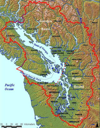
Here we are, on the Washington Coastal Atlas. This is an amazingly cool tool, covering the entire coastline of the state. It's unfortunately a little bit hard to use. But worth the trouble of picking your way along until you are over the part of the coastline you want to see, and coax it to show you the image. From there you can click on adjacent images, see the same area in other years, and so on.

Endless entertainment: the pilot station on Ediz Hook ; Tongue Point in 2002 ; Lake Aldwell, Elwha Dam, April 2007 and another angle (2) ; Ellen Creek crossing Rialto Beach ; Jamestown in 2006 ; and on and on.


No comments:
Post a Comment