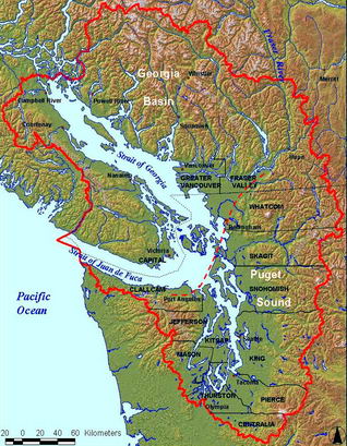
Everything is on track for a September 17th start for the actual removal of the Elwha dams. It's in the news almost daily. May 19th's story in the Peninsula Daily News was about the possibility that President Obama will come for the event. The rest of this post is about maps (except to mention that we have copies of the Smithsonian volume available in the library...)
This is a map from Handbook of North American Indians: Volume 7—Northwest Coast, published by Smithsonian Institution Press, reproduced here with permission.


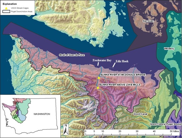
This map comes from the United States Geological Survey's Elwha River Sediment Monitoring page, showing the Elwha River watershed and the Elwha coastal drift cell.
NorthWest S'Klallam Villages. Map prepared by Randall E. McCoy, Lower Elwha Klallam Tribe

This is a map of the Elwha River Watershed, showing the location of the dams and of the present day Lower Elwha Klallam Reservation (the small gray patch at the top of the map). It comes from ElwhaBiodiversity.org at the University of Washington.